When we arrived the icy river water was headed for his buildings.

As we started to move equipment to higher ground the water started to flood his driveway into the property.

Moving out Jim's camper.

When we returned early the next day the water was 4 feet deep on the driveway.


Our son's equipment parked near the county road was still above water but the corn field was now a lake. We couldn't access the property at the end of the day and went home.

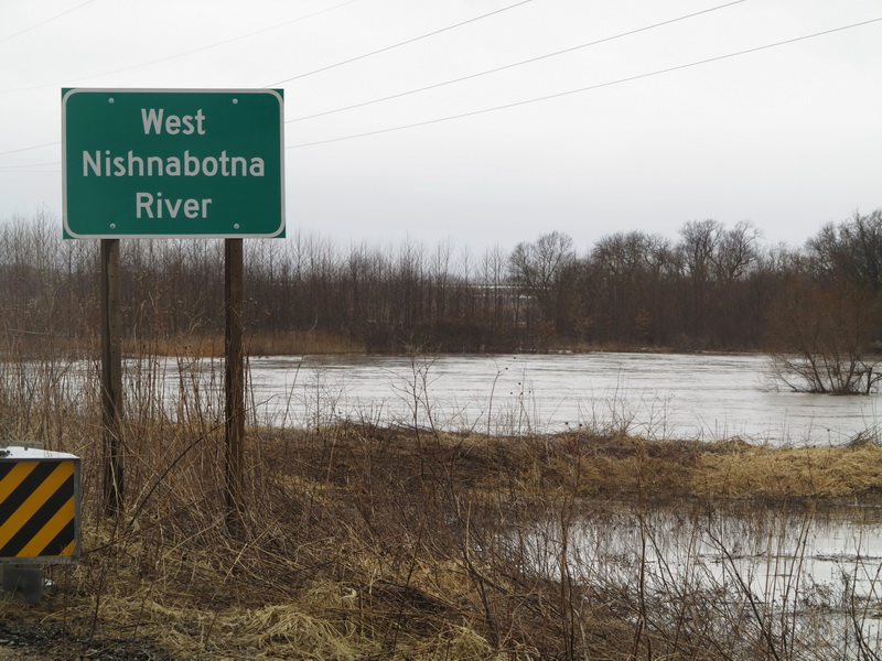
When we returned early on March 15th (the Ides of March) we found the river had gone up over a foot over the night.

On the other side of the bridge from the driveway we found a vehicle that tried to drive through water flowing across the road and didn't make it. We found out later that the young driver was able to get out safely.

The wind was very strong but I was able to get a couple of photos of our son's property with my drone. His buildings are in the wooded area in the center of the photo.

A view of the flooded property.

Looking south from the property is the river bridge and flooding. The wind is too strong to fly the drone so we head home and wait.

We returned late in the afternoon and the wind had calmed enough to fly the drone. I was able to fly over the trees and drop down into the area around the buildings for a close view of the flooding.

The water has dropped down some and it looks like a high water mark of about a foot on the buildings.

Some of the equipment left behind.

A drone view of the water around the property. We are flying the drone from the truck (right of center in photo) parked on the county road. We head home for the day and watch the online river monitors as the Nishnabotna River sets a new record.

We returned the next day (the 16th) and the river dropped 4 feet over night and we get a good view of the yellow car in the ditch, covered with corn stalks.

Our son's equipment is now higher above the flood water.

The driveway to the property is still under water and plugged with corn stalks but the water level is low enough to walk through.

Our son walks in to check on his property.

While our son checks the property I fly the drone to document the flooding. Looking north from the bridge on Lambert Road.

Buildings on our son's property are on the left of the photo.

Most of this wooded area is our son's property. The Nishnabotna River forms a large "S" through his property.

The Nishnabotna River is back within its banks and damage to the neighbor's corn field is visible.

Looking west from the corn field to our son's wooded property and the Nishnabotna River.

A new sandbar (lower right) has formed in the river on his property.

Looking southwest to his garden area near the river and another neighbor's corn field.

A view of his buildings as the water drains from the fields and woods.


No comments:
Post a Comment